Function available in CINEMA 4D Prime, Visualize, Broadcast, Studio & BodyPaint 3D
![]() Relief Object
Relief Object
Relief Object
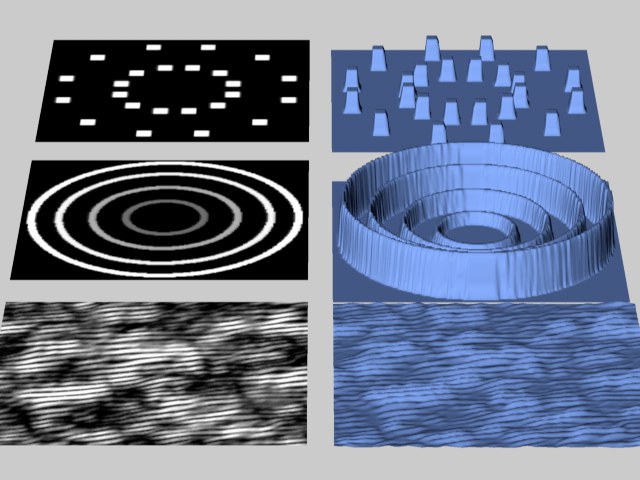
The relief map interprets the different grayscales within the image as altitude values. If you choose a color image, the grayscale is formed from the average value of the red, green and blue components of the bitmap picture. The brighter the pixel, the higher the elevation; the darker the pixel, the deeper it lies within the scene. In other words, darkness defines valleys, brightness is for mountains.
 Patterns (left) for different reliefs (right).
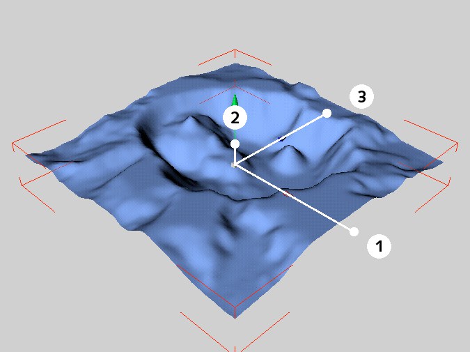
The relief initially has three handles:
- Drag handle (1) to change the width (X).
- Drag handle (2) to change the height (Y).
- Drag handle (3) to change the depth (Z).
 The handles of the relief primitive.
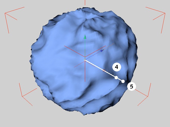
If you enable Spherical, only two handles appear:
- Drag handle (4) to change the globe’s radius (half the width — the first Size value).
- Drag handle (5) to change the height of the elevation (height - the second Size value).
 Alternative handles for the relief primitive.